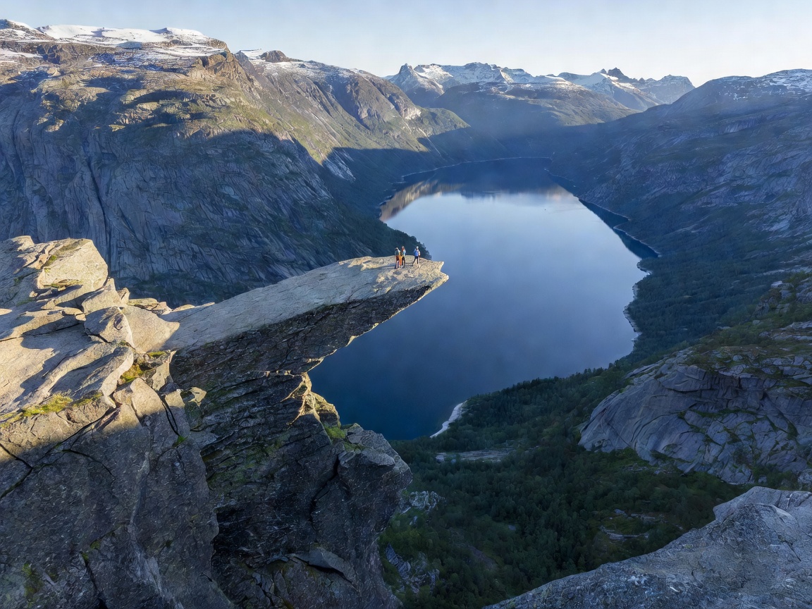
 Vestland County
Trolltunga (The Troll's Tongue)
A 700-meter horizontal granite tongue suspended over Lake Ringedalsvatnet. Demands a challenging 20-to-28 km round-trip mountain trek.
Read Trolltunga Guide →Standing above glacial valleys, granite cliffs, and turquoise waterways. Detailed route realities, seasonal conditions, and logistical preparation for northern Scandinavia’s most iconic scenic overlooks.
Norway’s terrain ranges from road-accessible skywalks at 1,500 meters to rigorous alpine treks requiring ten hours of endurance. Weather changes rapidly at elevation regardless of the forecast.
Examine the geology, transit options, and physical demands of Norway’s benchmark vistas.
Vestland County
A 700-meter horizontal granite tongue suspended over Lake Ringedalsvatnet. Demands a challenging 20-to-28 km round-trip mountain trek.
Read Trolltunga Guide →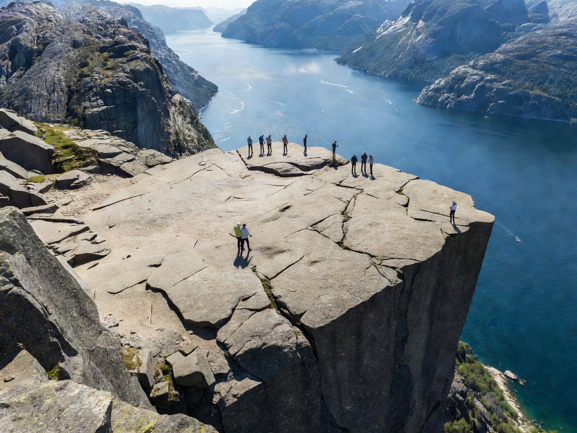 Rogaland County
A dramatic 25x25-meter square plateau towering 604 meters vertically above the serene waters of Lysefjord near Stavanger.
Read Preikestolen Guide →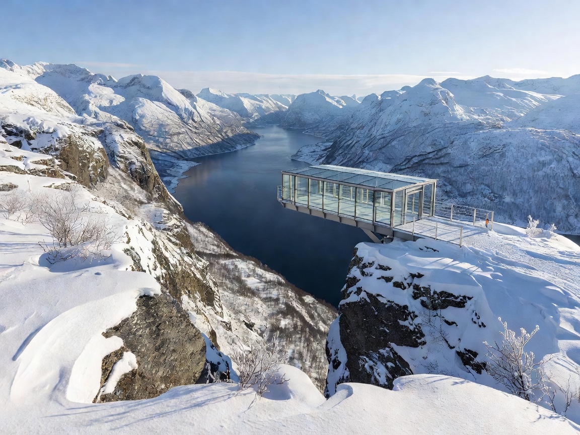 Møre og Romsdal
Europe’s highest road-accessible fjord view from a steel-mesh platform perched 1,500 meters above sea level with zero hiking required.
Read Dalsnibba Guide →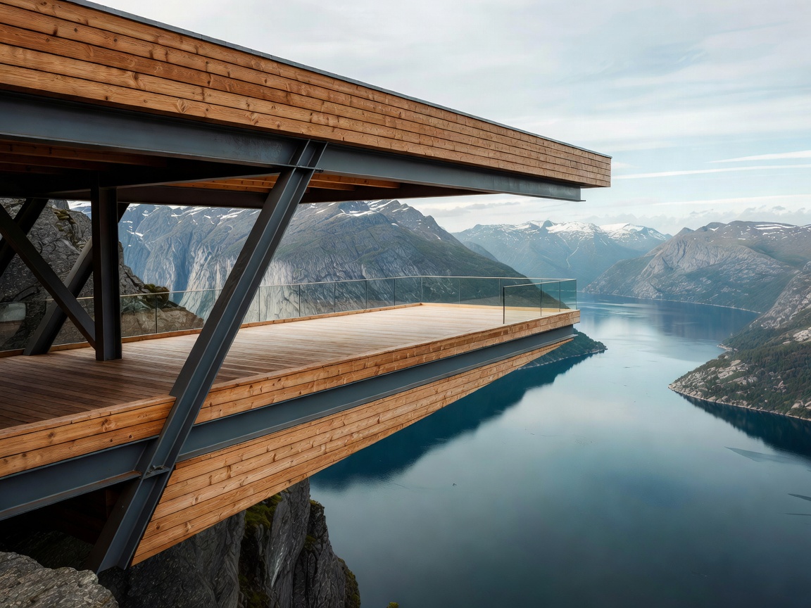 Aurland / Sogn
A 30-meter cantilevered wooden footbridge with an angled glass terminus projecting 650 meters over the tranquil Aurlandsfjord.
Read Stegastein Guide →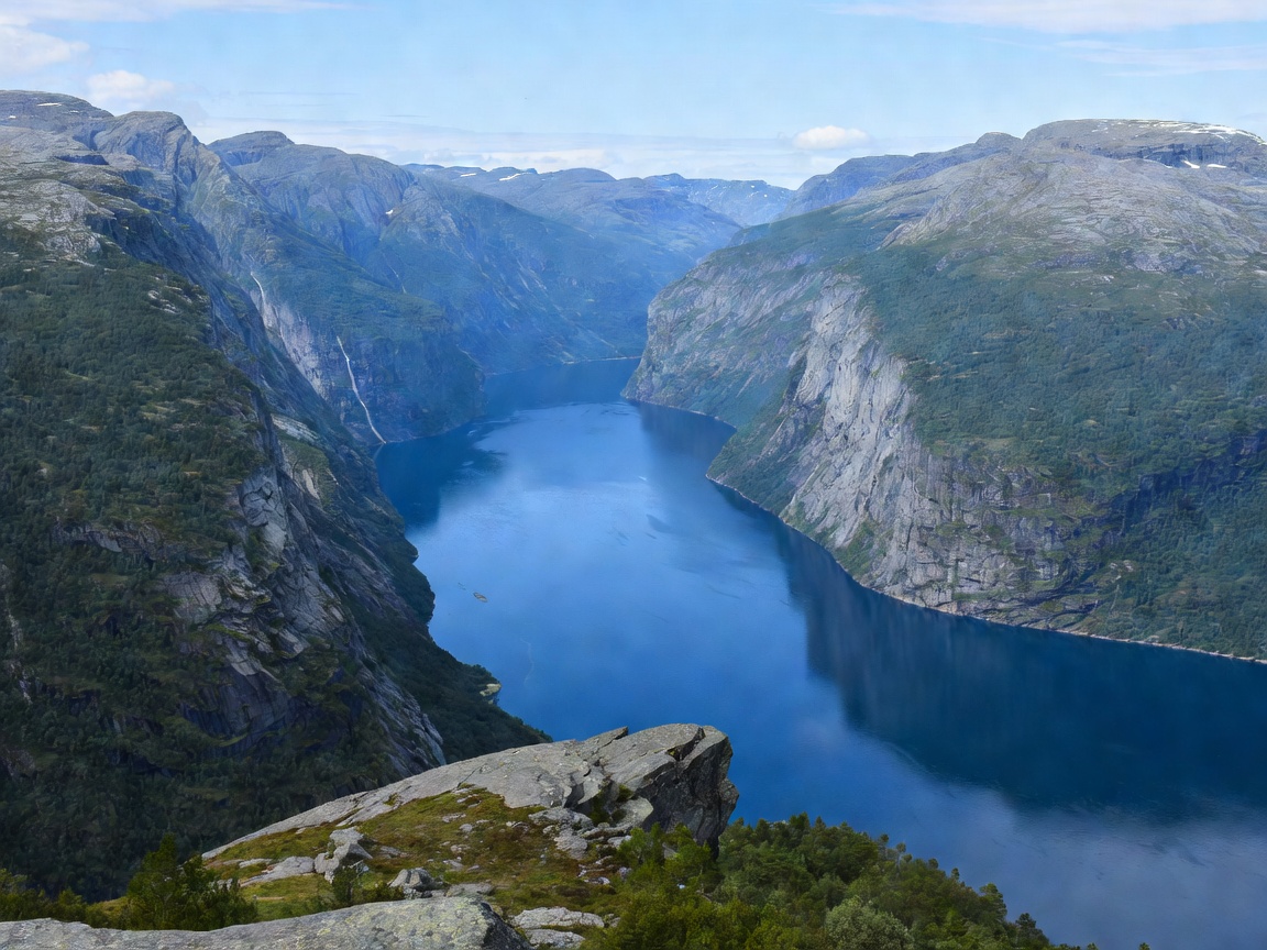 UNESCO World Heritage
Flydalsjuvet gorge, Ørnesvingen (Eagle Road), and high cliff farms providing vantage points across the deep UNESCO World Heritage canyon.
Read Geiranger Guide →Understanding safety guidelines, daylight variance, and terrain classifications across Western Norway.
In June and July, the midnight sun provides continuous twilight, allowing extended hiking hours. By late September, sunset occurs by 19:00, freezing conditions return to mountain tops, and headlamps become mandatory gear.
Plan your trip and inform others where you are heading. Adapt your route according to capability and conditions. Respect weather forecasts, carry appropriate winter wool layers even in July, and turn back before exhaustion sets in.
Most fjord viewpoints require navigation across car ferries and scenic toll highways. Using registered electronic toll tags (AutoPASS) ensures streamlined processing and access during busy summer travel windows.